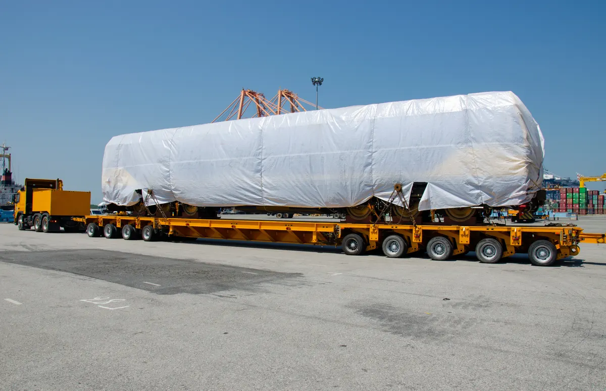
In heavy haulage it is not the shortest route that decides, but the one that carries the load. Bridges, clearance heights and bottlenecks determine which route can be approved at all. This guide explains how bridge loads are assessed and how a reliable route plan comes about.
Why is the bridge load the critical point?
Because a single bridge that cannot carry the load brings down the entire route. Every structure has a limited load capacity; if the gross weight including the vehicle exceeds that limit, the bridge has to be individually recalculated, crossed under conditions (single crossing, walking pace, centre of the carriageway) or bypassed. On very heavy transports the bridge question is often the factor that determines lead time and cost – not the kilometres. For the overall picture see heavy haulage.
What do bridge classes tell you?
Older structures were designed to bridge classes, newer ones to the load model of the current standards. In practice the class designation matters less than the question: does the structure carry the actual gross weight with the planned axle load distribution? This is exactly where vehicle selection comes in – additional axle lines spread the load over more contact points and lower the individual axle load. Our low-loaders and modular trailers are designed for this.
How does the route survey work?
Route planning combines digital databases with the official procedure:
- GIS-based pre-check: Bridge registers, clearance heights, roundabouts, gradients and known bottlenecks are compared digitally against the transport profile.
- VEMAGS consultation: In the German procedure, road authorities and bridge inspection bodies review the proposed route and release it or return it with conditions.
- Site drive: On critical sections the route is driven in reality in order to verify heights, radii and temporary roadworks.
A clean pre-check prevents the most expensive mistake: an application on a route that the authority later rejects – then the procedure starts again from the beginning.
Which bottlenecks are most often overlooked?
Besides bridges these are typically clearance heights under level crossings and sign gantries, narrow roundabouts, kerb radii in village through-roads, traffic light cantilevers and the last mile over municipal roads to the loading and unloading point. Temporary roadworks can also close a released route at short notice. That is why a plan B belongs in every serious route plan. On international lanes, border crossings and the Middle Corridor add a planning dimension of their own – our route overview shows the main axes.
How are route, escort and cost connected?
The approved route determines the conditions: whether and how many escort vehicles are required, whether a police escort is ordered and which time windows apply follows directly from the route profile and the bridge situation. You will find the details on escort under BF3/BF4 escort. Because all of this is only established after the route survey, a reliable price can only be quoted seriously afterwards.
What does this mean for international routes?
Across borders the task multiplies: every country keeps its own bridge register and its own approval procedure, and the structural standards differ. On the way to Turkey or Central Asia via the Middle Corridor, road quality and permissible axle loads also change markedly, so that an axle load distribution that carries in the EU has to be reassessed in a transit country. Often it is not the shortest line but the one most robust in terms of bridges and axle loads that decides feasibility and delivery date. That is why the route is surveyed separately for each national section and then combined into a continuous route approved in every country. Country-specific particularities – mountain passes, ferry connections or seasonal closures, for example – are summarised on the respective country pages such as Heavy Haulage Georgia, so that the choice of route stays realistic from the outset.
How we plan your route
Oversize Transports combines the GIS pre-check, bridge load assessment and the official procedure into an approvable route – including the axle load concept, escort planning and alternative routes. After the feasibility study you receive a clear statement on which route carries, which conditions apply and when the transport can run. The earlier reliable cargo data is available, the more precise the choice of route and the less often later replanning becomes necessary. On critical structures we liaise directly with the responsible bridge inspection bodies in order to speed up approvals. Send us dimensions, weight, axle loads and the lane.